

This online library is a clearinghouse of tools and information related to habitat on rights-of-way and other lands. From seed mix calculators to mowing guidelines and everything in between, you’ll find it here.
Conservation Agreements
Case Studies and Research
This report by EPRI summarizes the process and final methods for a landscape-scale, GIS-based approach to identifying monarch habitat in the United States.

Webinars
In the first webinar of this year’s Research Roundtable, this video provides an overview of advanced monitoring techniques, followed by specific research studies using eDNA and remote sensing.
Case Studies and Research
This study by the Virginia Transportation Research Council reviews the effectiveness Virginia Department of Transportation (VDOT)’s roadside vegetation establishment practices and provides recommendations on how to explore opportunities to improve understanding of procedural policy and implement procedural improvements, including revision of VDOT’s Roadside Development Sheets and testing native plants for suitability for placement alongside Virginia’s roads.
Assessment Tools, Planning Tools, Webinars
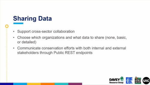
In this fourth Geospatial Database discussion, this video demonstrates how to share geospatial database data with partner organizations and the general public.

Case Studies and Research
This study surveyed residents living by utility ROWs in the Chicago, Illinois USA metropolitan area to determine if residents prefer utility ROWs managed as lawn over those managed as native prairies or allowed to grow freely with only woody vegetation removed (“old-field ROWs”) and found that respondents did not prefer mowed over prairie or old-field ROWs.