Rights-of-Way as Habitat Geospatial Database

0
Monarchs supported1
0
Total reported acres2
0
Participating organizations3

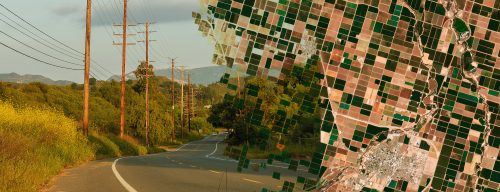
The ROW as Habitat Geospatial Database allows your organization to store and track information about habitat restoration projects and conservation measures on your lands. The database quantifies pollinator habitat managed on energy and transportation rights-of-way (ROW) and other lands to inform habitat restoration activities, communicate the conservation value of ROW, and facilitate collaborative projects between participating organizations.

Logo showing the steps needed to use the geospatial database

Fill out the Intake Questionnaire to register for the Geospatial Database.

Map image with text reading Launch the Map

REGISTERED DATABASE USERS

Thank you to our project partners…

Ameren logoATC logoClearion logoDuke logo
Idaho Transportation Department logoWisconsin Department of Transport logoComEd logoField Museum logoNFWF logo
Illinois Department of TransportIllinois Tollway logoNiSource logo
Davey logoNCIPMC logoUSFWS logo
  1. Estimated monarch butterflies supported by the addition of milkweed stems.
  2. Acres managed for habitat as reported by participating organizations.
  3. The number of utility and transportation organizations reporting data into the database.